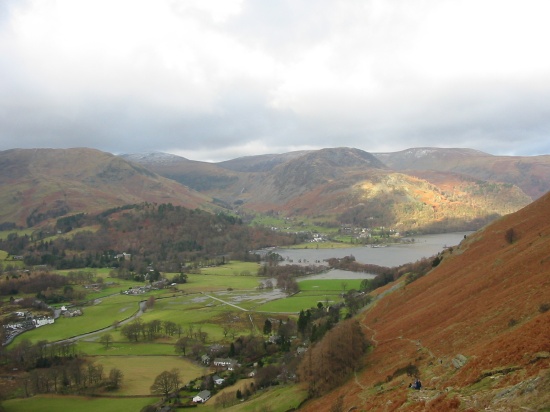
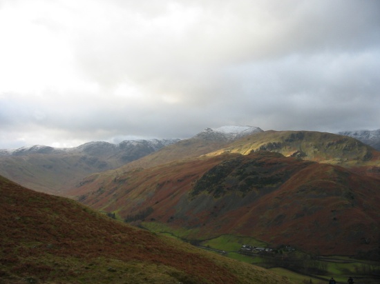
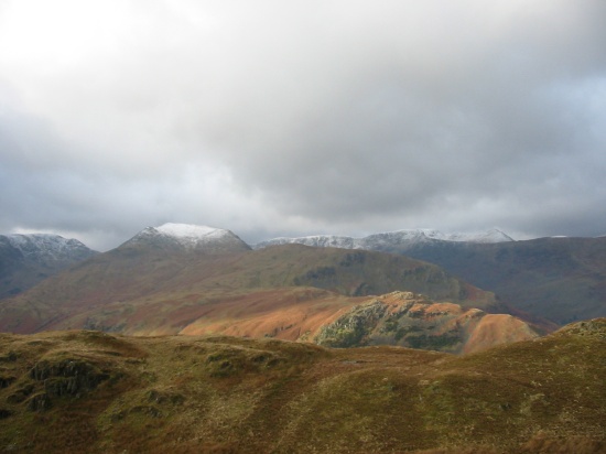
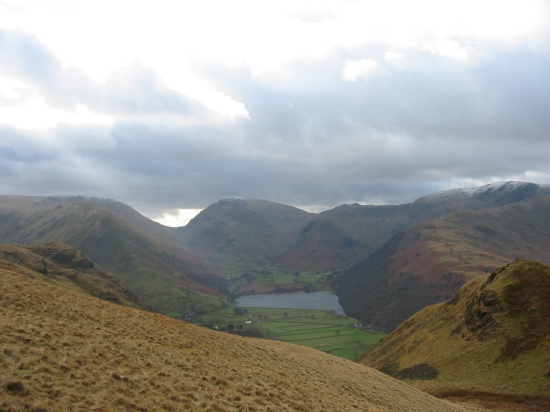
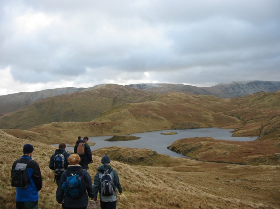
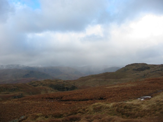
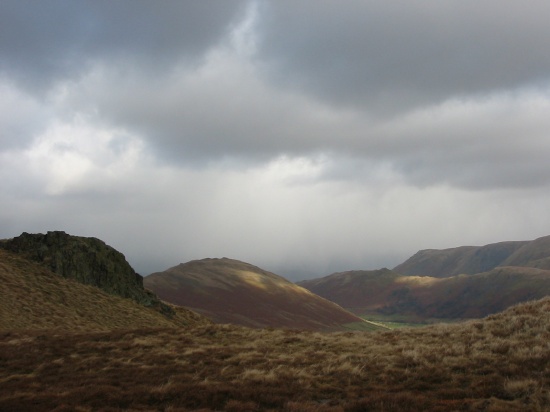
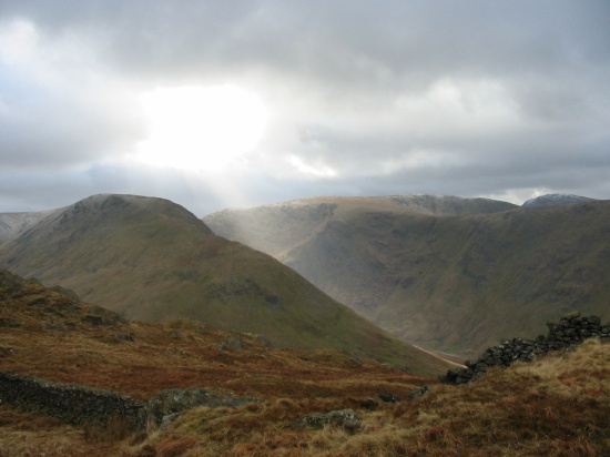
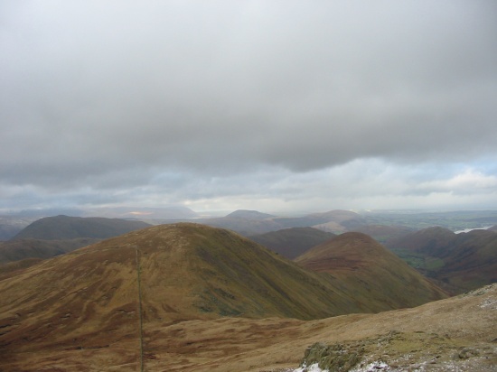
Photo Reports - Patterdale, Lake District 07/02/2004
Photo Gallery
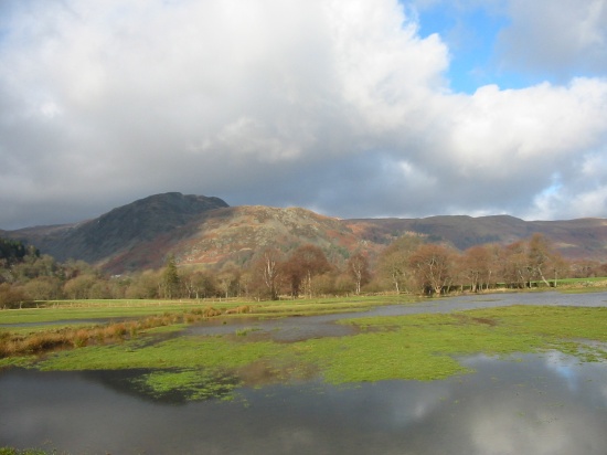
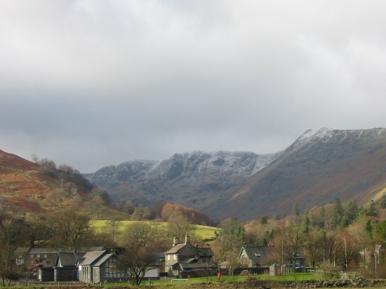
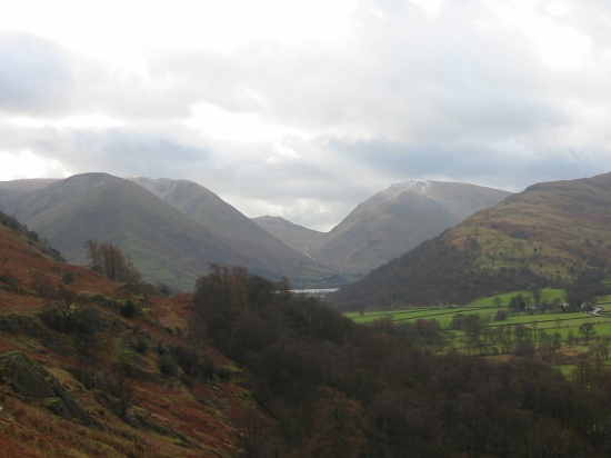
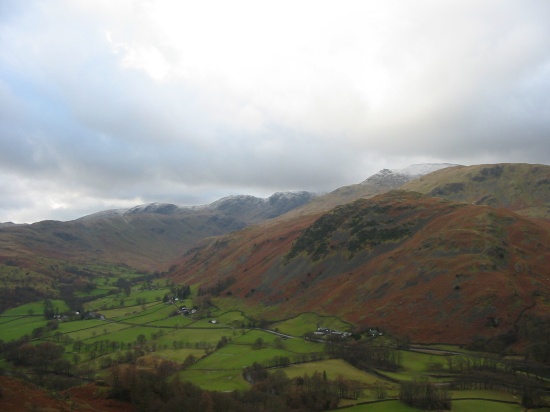
Select a photo to view a larger version
Route Information
Length - 19km
Height Gain - 960m
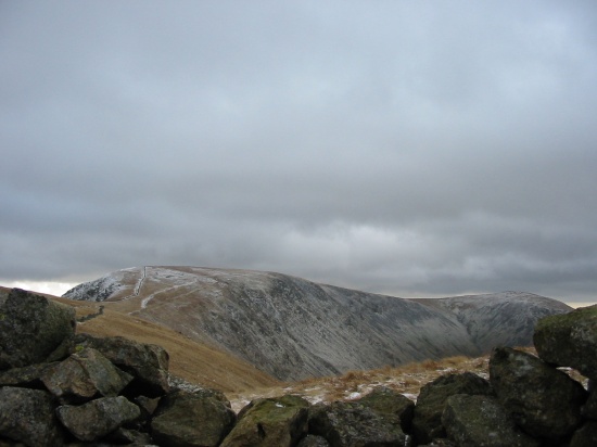
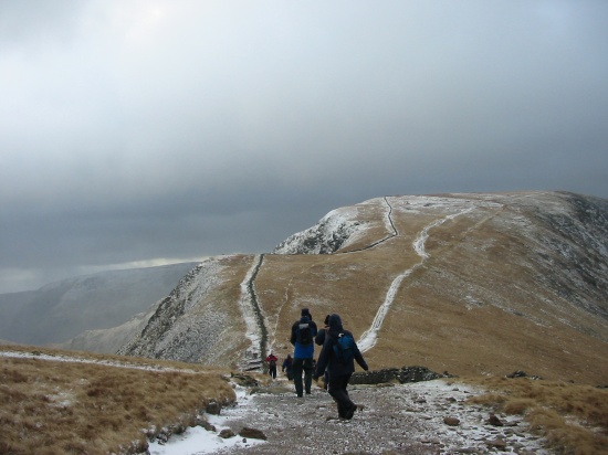
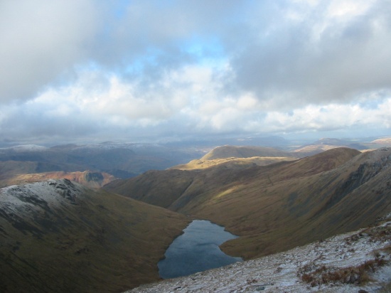
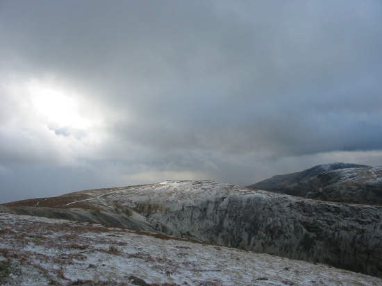
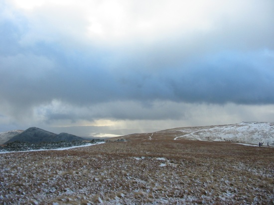
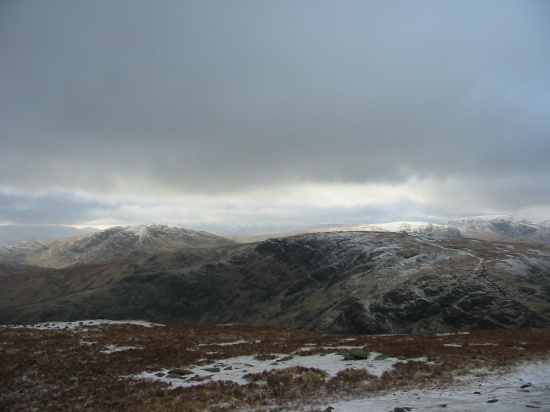
Patterdale - Boredale Hause - Angle Tarn - The Knott - High Street - Thornthwaite Crag - Pasture Bottom - Hartsop - Patterdale - Glenridding
Walk Description & Map
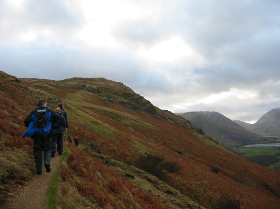
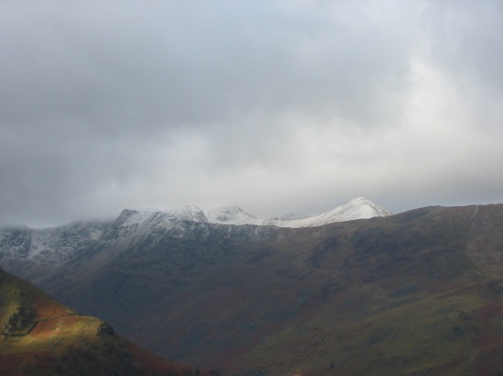
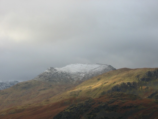
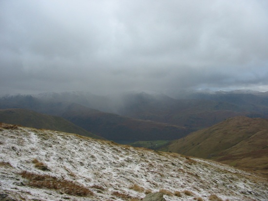
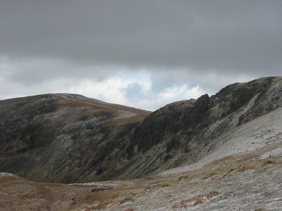
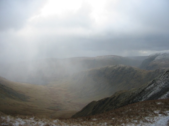
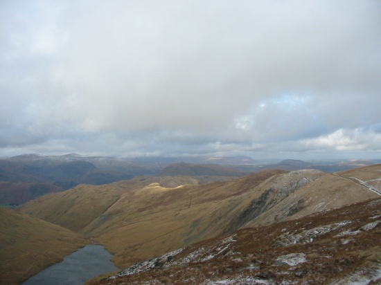
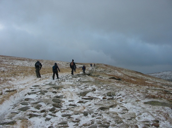
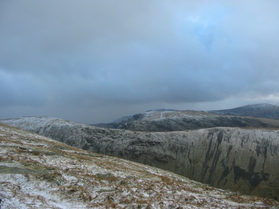
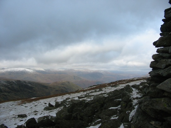
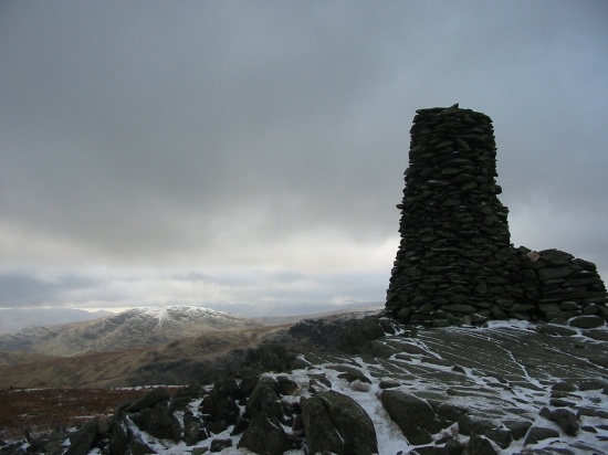
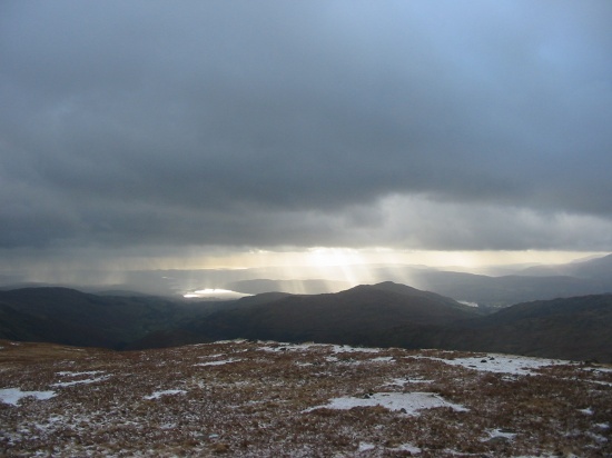
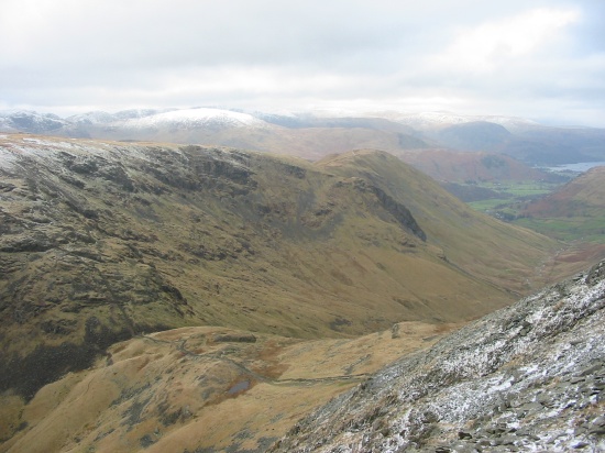
A right mix of weather here. Started and finished dry and sunny, but in between were some fearsome blizzards and the wind got up high on the tops. We were the only group to complete out planned route, all the others diverted or cut short.
Pub: The Travellers Rest, Glenridding