Photo Reports - Howgill Fells 04/05/2002
Photo Gallery
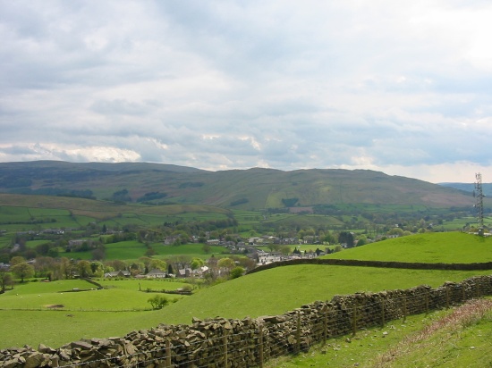
Select a photo to view a larger version
Route Information
Length - 16km
Height Gain - 860m
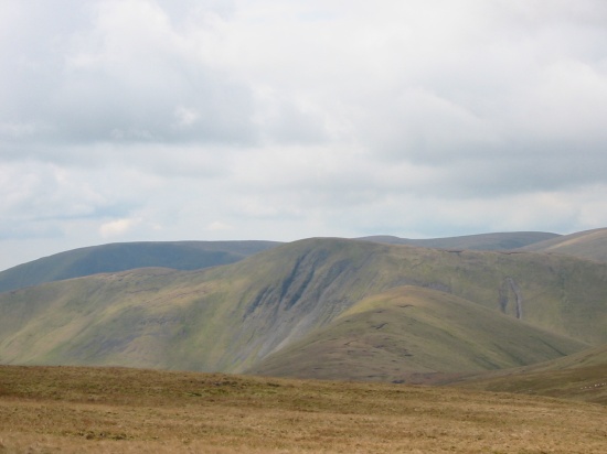
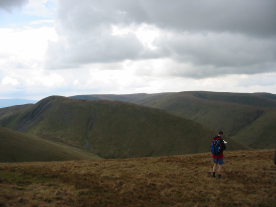
Crossbank - Green Bell - Randygill Top - Bowderdale - The Calf - Calders - Sedbergh
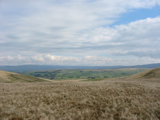
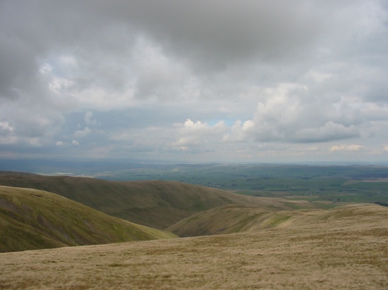
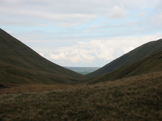
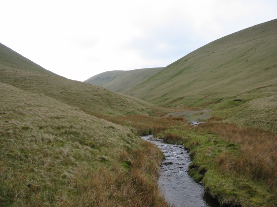
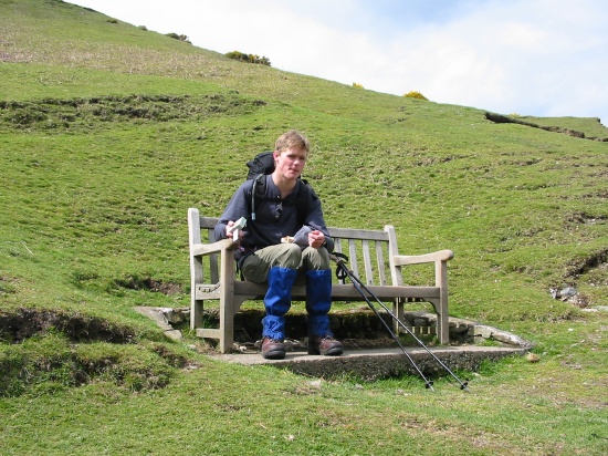
Walk Description & Map
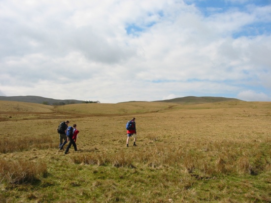
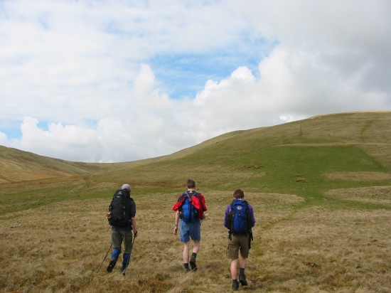
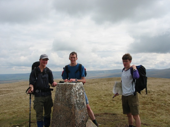
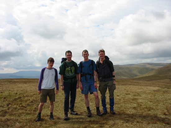
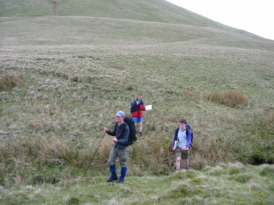
Three out of the four on this walk were walk leaders, overkill? Also all were on the exec (President, Vice-President, Treasurer and Computing Officer). Thats what happens when its a week before exams start and only 11 people go on a walk! A good walk this, a slight variation of one I did in 2001. The descent of Randygill Top is tricky though simply because its so steep.
Pub: The Dalesman in Sedbergh