Photo Reports - Wooler, Northumberland 11/11/2000
Photo Gallery
Select a photo to view a larger version
Route Information
Length - 18km
Height Gain - 800m
Langleeford - Cairn Hill - The Cheviot - Broadstruthers Burn - Wooler
Walk Description & Map
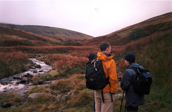
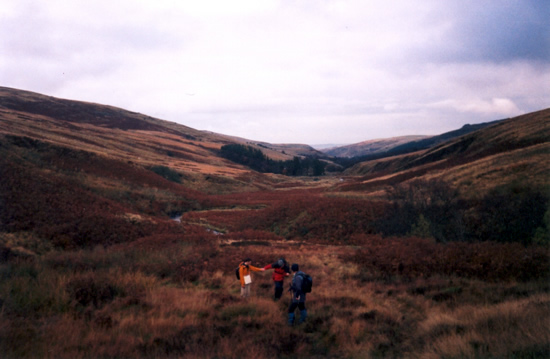
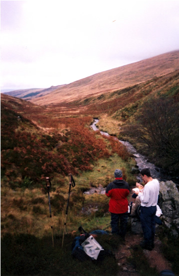
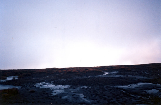
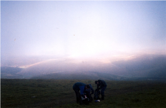
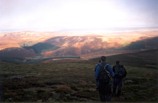
Not a bad day but the cloud base was about 700m so no view from the Cheviot (except of bog). Generally dry with an odd shower, very boggy underfoot(surprise, surprise, it is the Cheviots after all!) There's now a nice stone path over The Cheviot to stop you dissappearing into the bog. At this point however it was only half finished... We got just over the summit and were presented with the end of the path followed by little piles of stone slabs spaced just far enough apart to make you think you could jump the gap but actually that little bit too far...